The rulebook for any site, layered onto the parcel.
Base zoning, overlays, setbacks, height, FAR, and density — read together against the lot. UnlockLand turns scattered bylaws into one clear picture of what the rules actually allow.
Step two of the UnlockLand workflow — discover the site, then understand its rules.

Scattered bylaws, resolved into one clear picture of what you can build.
Citations link to the governing bylaw · last synced 12 Mar 2026.
 R-3 · subject
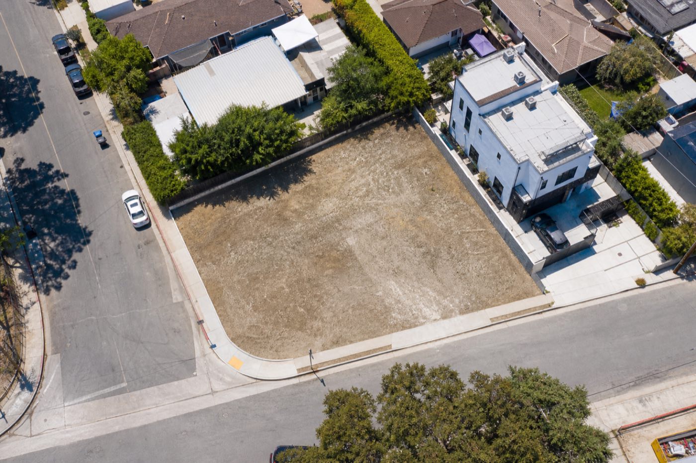
88 Olaya Street
R-3 · subject
88 Olaya Street
Illustrative interface — base zone, every control, and the overlays that override it, each traced to its bylaw.
Every rule that governs the lot, in one place
Zoning is rarely one number. A site is governed by a base zone, then reshaped by overlays, setbacks, height caps, and density formulas that interact in ways that are easy to miss. Zoning Intelligence reads them as a system and tells you what they mean for this parcel.
The governing zone with permitted, conditional, and prohibited uses — so you know what's allowed before you design anything.
Setbacks, height limits, FAR, coverage, and unit density — the formulas that decide how much can actually fit on the lot.
Overlays, easements, and heritage listings flagged on the parcel — the layers that quietly override the base zone.
How it works
{{ s.title }}
{{ s.body }}
What's allowed — and what quietly overrides it
Permitted, conditional, and prohibited uses at a glance, with every overlay stacked on top of the base zone in the order it applies.
What goes in, what comes out
- {{ i }}
- {{ o }}
Where it fits in the workflow
Zoning Intelligence sits between finding a site and sizing it up. Pull a parcel from Address Search, decode its rules here, then carry the constraints straight into a buildable read on Development Potential.
Ready to compare plans? See pricing.
Stop reading bylaws. Start reading sites.
Start free and decode the rules on your first site in minutes — no credit card required.